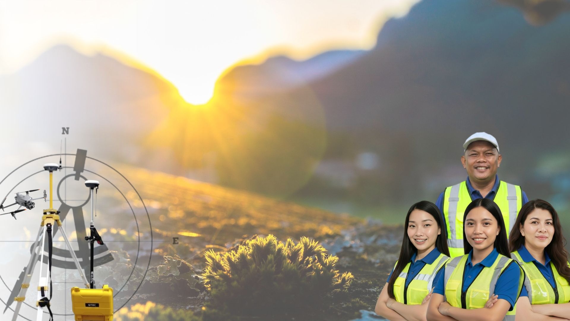
Alterra Geomatics & Construction
Combining licensed skills and years of experience to make it happen.
We are a professional surveying and geomatics consultancy serving government agencies, private developers, institutions, and individual clients.
Our work combines licensed professionals, modern geospatial technology, and standards-compliant practices to deliver accurate, reliable, and defensible results.
Who We Are
Land Surveying & Geomatics
We provide accurate and standards-based surveys using GNSS, total stations, and drone mapping.
What We Offer
Drone Mapping & Geospatial
Data Processing
We deliver high-resolution mapping, orthophotos, terrain models, and geospatial analysis using modern UAV technology.
Environmental & Regulatory Documentation
We assist clients in preparing DENR-aligned requirements including IEE, EIA, EPRMP, and ECC applications.
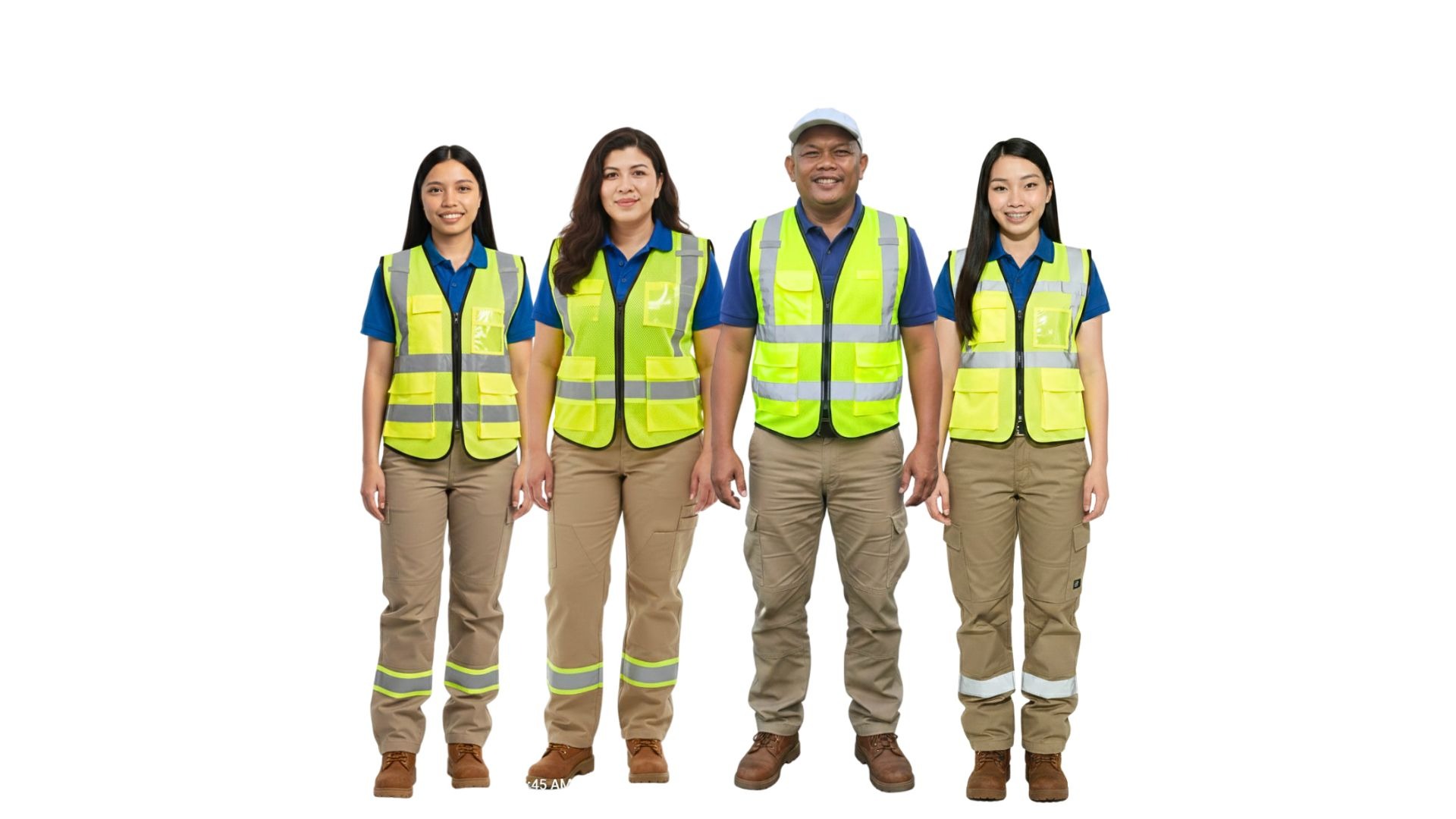
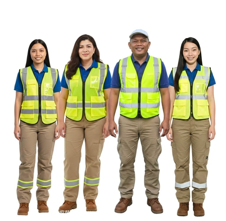
Our Recent Collaborations


Why Choose Us
Standards-compliant and legally defensible outputs
Technology-enhanced accuracy and efficiency
Experienced and disciplined professional team
Clear communication and dependable client support
Stay Informed
Get updates on surveying and mapping insights


Contact
Reach out for precise surveying solutions.
Phone
alterrageomatics@gmail.com
+639997887600
© 2025. All rights reserved.
ADDRESS
Palestina, Pili, Camarines Sur
Connect with us
Business Hours
Monday - 9:00 AM - 5:00 PM
Tuesday - 9:00 AM - 5:00 PM
Wedenesday - 9:00 AM - 5:00 PM
Thursday - 9:00 AM - 5:00 PM
Friday - 9:00 AM - 5:00 PM
Saturday - 9:00 AM - 5:00 PM
Sunday - Closed