Our Services
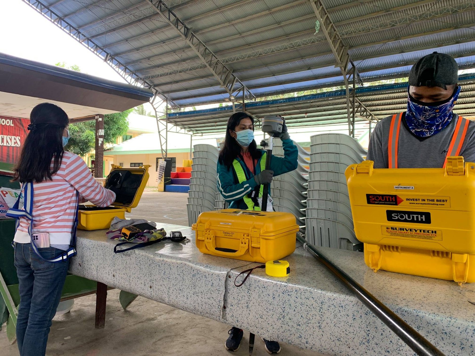
Land Surveying & Geomatics
We provide accurate and standards-based surveys using GNSS, total stations, and drone mapping. Our services include topographic, as-built, parcellary, route, and delineation surveys essential for planning, development, and legal documentation.


Drone Mapping & Geospatial Data Processing
We deliver high-resolution mapping, orthophotos, terrain models, and geospatial analysis using modern UAV technology. These outputs support engineering design, area verification, site planning, and environmental assessments.


Environmental & Regulatory Documentation
We assist clients in preparing DENR-aligned requirements including IEE, EIA, EPRMP, and ECC applications. Our outputs support responsible development, compliance, and technical review by regulatory agencies.
Land Surveying & Geomatics
Drone Mapping & Geospatial Data Processing
Environmental & Regulatory Documentation

Project Snippets
Alterra Geomatics & Construction maintains a disciplined and methodical approach to fieldwork, data processing, and documentation.
We follow established survey standards while integrating updated tools and techniques to ensure clarity, accuracy, and dependability.
Our goal is to support clients and agencies with results that meet regulatory requirements, withstand technical review and provide real solutions to land related concerns.
Contact
Reach out for precise surveying solutions.
Phone
alterrageomatics@gmail.com
+639997887600
© 2025. All rights reserved.
ADDRESS
Palestina, Pili, Camarines Sur
Connect with us
Business Hours
Monday - 9:00 AM - 5:00 PM
Tuesday - 9:00 AM - 5:00 PM
Wedenesday - 9:00 AM - 5:00 PM
Thursday - 9:00 AM - 5:00 PM
Friday - 9:00 AM - 5:00 PM
Saturday - 9:00 AM - 5:00 PM
Sunday - Closed