About Us
Meet Our Amazing Team
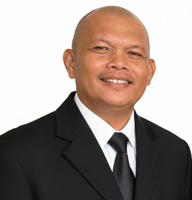
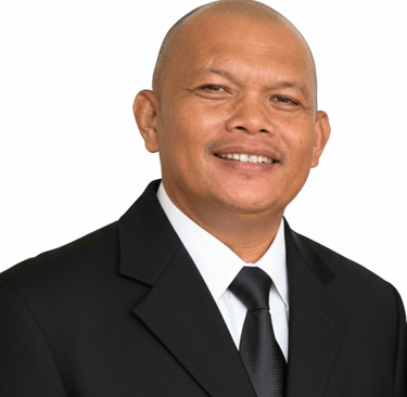

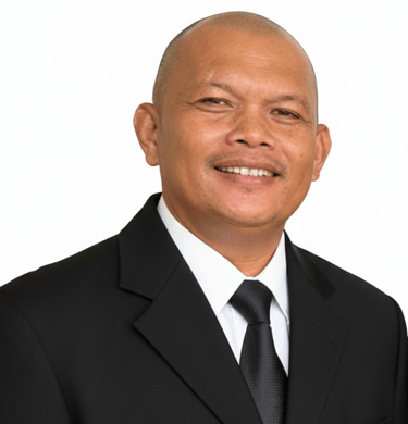
Jose B. Gavino, Jr.
Supervising Geodetic Engineer
Environmental Consultant


Sherlene U. Gavino
Bea Maica S. Gavino
Andrea Pauline S. Gavino
Administrative Officer
Environmental Consultant
Principal Geodetic Engineer
Environmental Planner Environmental Consultant
Geodetic Engineer
Safety Officer

To be a highly trusted surveying and geomatics firm known for accurate, reliable, and solution oriented outputs that support sound decision making and resolve land-related concerns.
MISSION
We are committed to delivering accurate and dependable results by strictly following established standards, manuals, and laws of the profession while continuously adapting modern technologies and industry best practices.
CORE VALUES
Collaboration
Working closely with clients, agencies, and stakeholders
VISION
CORE VALUES
Integrity
Upholding honesty, accuracy, and professional ethics in all work
Innovation
Embracing new tools and methods to improve efficiency and precision
Commitment
Delivering quality outputs that meet technical and regulatory standards
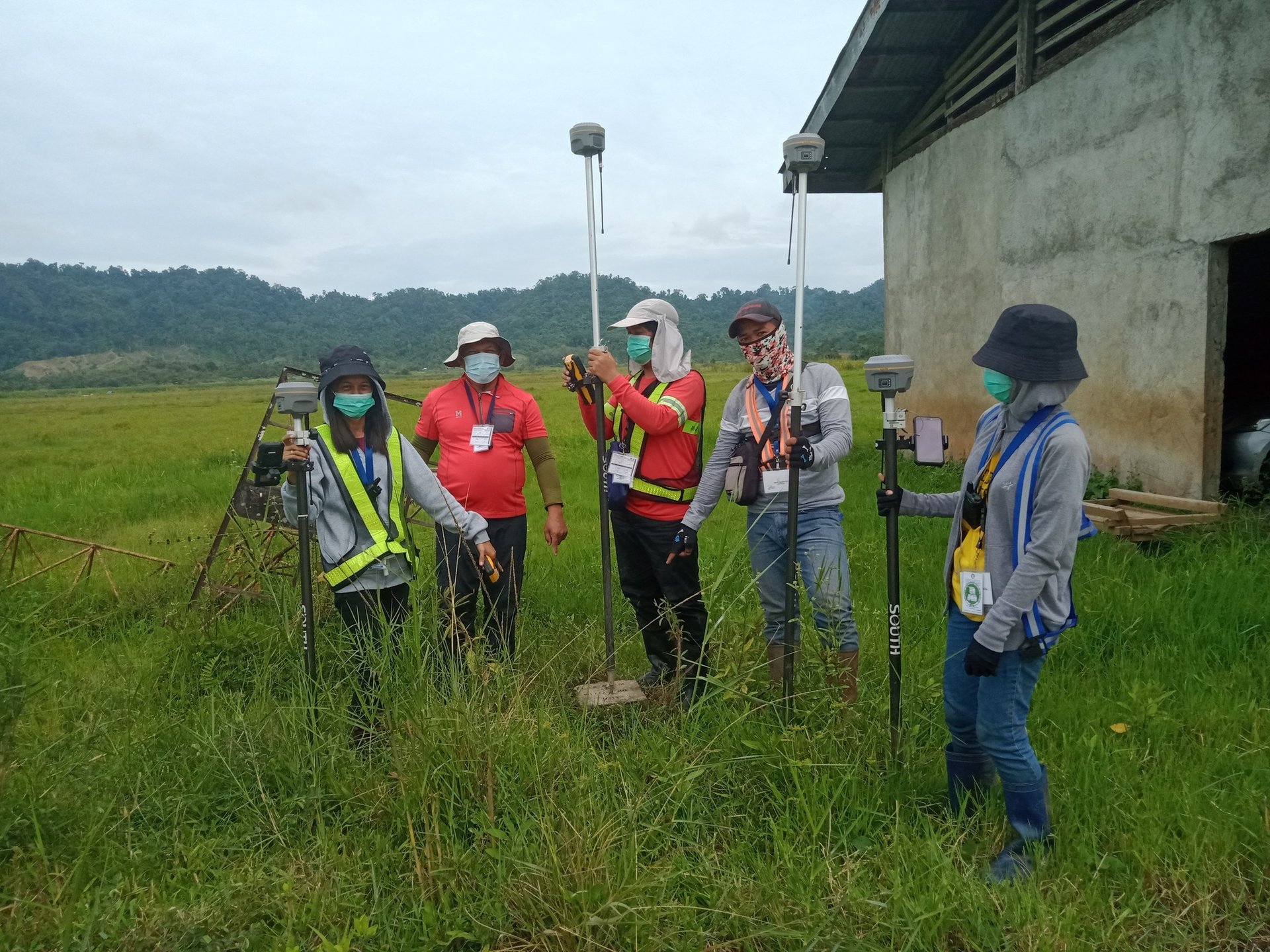
Who We Are
At altera geomatics, we merge expert surveying with drone tech to precisely map your land and guide your projects.


150+
15
Trusted Nationwide
Certified
Completed Projects
Precision in every survey and map we create.


Land Survey
Detailed boundary mapping for clear property lines.


Drone Mapping
High-resolution aerial data for accurate site analysis.


Environmental
Consulting to ensure projects meet compliance standards.
Consultancy
Guidance through planning and development processes.
→
→
→
→
Contact
Reach out for precise surveying solutions.
Phone
alterrageomatics@gmail.com
+639997887600
© 2025. All rights reserved.
ADDRESS
Palestina, Pili, Camarines Sur
Connect with us
Business Hours
Monday - 9:00 AM - 5:00 PM
Tuesday - 9:00 AM - 5:00 PM
Wedenesday - 9:00 AM - 5:00 PM
Thursday - 9:00 AM - 5:00 PM
Friday - 9:00 AM - 5:00 PM
Saturday - 9:00 AM - 5:00 PM
Sunday - Closed